Hybrids, guest smartphone and open areas
In a real project, one technology almost never works — a combination works, and the only question is which one. We analyze how radio and inertial sensors are formed, why the room plan is a free source of accuracy, what the application on the guest's smartphone really gives, and how tracking is arranged in an open area: park, glamping, skiing, festival.
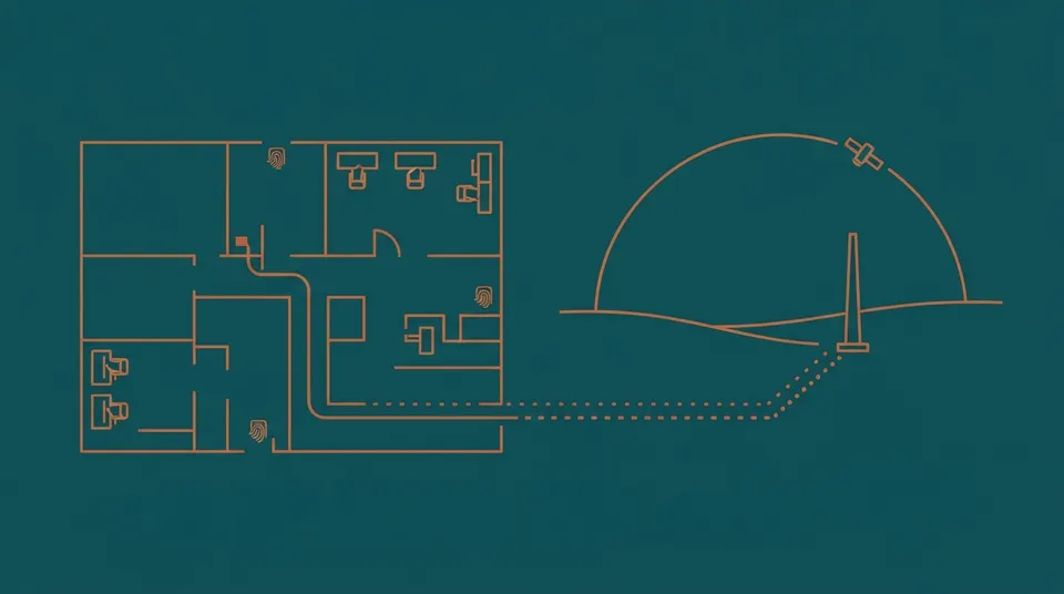
All previous articles analyzed the technologies separately, and each had an honest list of what it does not know how to do. In this project, it looks different: they take two or three technologies and put them together so that the weakness of one is covered by the other.
This is not a compromise and not a sign that the budget was not enough. A hybrid is often cheaper and more stable than trying to close the entire area with one "honest" system. The reason is arithmetic: The cost of the coordinate system is determined by the coverage area, not the number of objects, and reducing the area where centimeters are needed saves the most expensive part — cable, power and installation.
What is added with what
Radio plus inertial sensors
The most common bundle. The radio gives an absolute position, but with scatter and dips; inertial sensors (accelerometer, gyroscope, sometimes magnetometer) give smooth relative movement, but accumulate drift. Together they give a smooth track without drift.
Typical combinations from research practice:
- Bluetooth and inertial counting on a smartphone. In the work on positioning on beacons and inertial data with a particle filter, an average error of 1.34 m is given. This is noticeably better than pure signal strength, and is achieved without new infrastructure.
- UWB and inertial sensors. In the works on close integration, it is noted that UWB requires line of sight to guarantee centimeter accuracy and degrades noticeably in a complex environment with walls, columns and furniture; the addition of an inertial block compensates for errors without line of sight and drift.
- Satellite navigation, UWB and inertial sensors. In the comparative work of 2026, the end—to-end "street-room" positioning with three different estimation algorithms and map accounting is considered. This is exactly the task of a park with covered pavilions.
Room plan as a free source of accuracy
Underestimated reception: the algorithm knows that a person does not pass through the wall. Discarding physically impossible transitions and linking the track to the passages (the so-called map mapping) significantly improve the result without requiring a single additional sensor. The research uses approaches with reference to the floor plan in conjunction with Bluetooth and inertial counting.
Practical conclusion for the customer: the availability of an up—to-date plan of the facility in digital form is part of the terms of reference, not a formality. A supplier who does not ask for a plan with zones and aisles will not use this lever.
Filters: what does it give and how do they pay for it
The merging is performed by filters of the Kalman family, particle filters, and in recent works factor graphs. Effect : smooth track, emission resistance, operability with loss of part of the measurements.
A fee worth knowing about: the filter introduces a delay and can "cut off" sudden movements, and with prolonged loss, the radio begins to confidently show the wrong position — the drift looks like a reliable track. Hence the requirement for the system: she should show not only the position, but also an assessment of her confidence, and be able to honestly report "the position is lost" instead of drawing a beautiful line.
The "event plus coordinate" architecture
The most practical scheme for objects with guests, and it is also the most underrated.
An idea. Accurate discrete events from RFID serve as reference points: entrance, wet zone turnstile, locker, bar, exit. A continuous channel between them — Bluetooth zones or sensors — gives an approximate location. Reference points do not allow drift to accumulate, a continuous channel fills the gaps.
Why is it better than any of the parts individually. Only the events are a picture with holes: you know that the guest was at the bar at 20:14, and you don't know where he is now. How limiting this is is clearly seen in the most advanced park in the world: with regard to Disney bracelets, it is noted that they do not track children in real time, and employees can see where the bracelet was last attached — and it's slow to find a child.
Only a continuous channel is a picture without solid facts: analytics at the signal level gives estimates that cannot be presented in a controversial situation. The event "the bracelet is attached to the input reader at 19:42:11" is a fact that is suitable for both calculation and analysis of the claim.
How it looks in the data model. Session — a sequence of confirmed events with interpolated intervals with a confidence label between them. Reports on money and accounting are based only on events; heat maps and zone loading are based on the entire array. This division eliminates the main disease of analytical projects: when one digit is counted in two ways and differs.
A tag in a bracelet that already exists
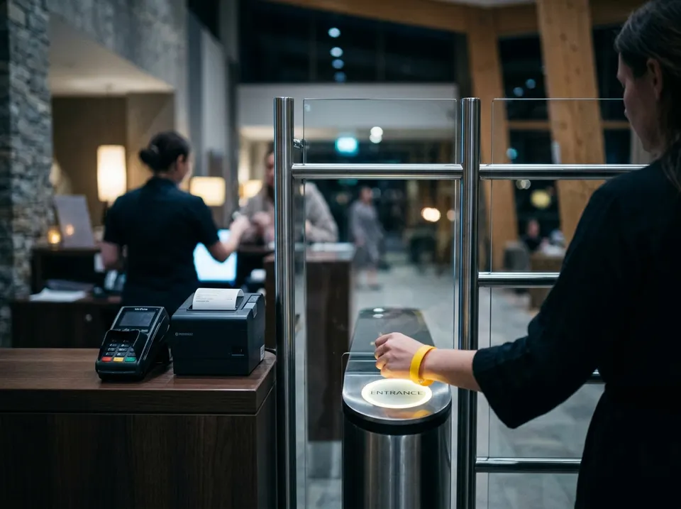
For the thermal spa complex, water park and fitness, the most economical way to a hybrid is not a new system, but a different bracelet.
The combined carrier — a passive chip for reading points plus an active Bluetooth transmitter - gives both channels at once: events and zones in real time. The reader infrastructure remains, receivers are added by zone.
What should be considered before the decision:
- the consumable part. An active bracelet with a battery is several times more expensive than a passive one, but they lose and break them the same way. It is necessary to count on the annual fleet, taking into account losses, and not per piece;
- maintenance. Batteries, culling, accounting of serviceable;
- to whom to give. A reasonable compromise: active bracelets are not for everyone, but according to the scenario — for children, premium rate guests, staff. The rest are passive. This reduces the expenditure part by several times and closes the most important tasks;
- perspective. If you choose active tags now, ask about chips with support for phase distance measurement: in two or three years, this can give accuracy without replacing the fleet.
Guest's smartphone: what really works
A separate class of solutions where the infrastructure is minimal, and the calculations are performed by the phone.
Platforms. Situm (Spain) claims an average of 1-5 m depending on the object and the quality of the phone; Pointr, Crowd Connected, Navigine offer comparable solutions. In the reviews of competitors, 1-3 meters appear on condition of a well-removed radio card and a preliminary inspection of the object; some vendors declare work without calibration detours.
What these figures do not reflect. The main limitation is not accuracy, but coverage. To work, you need: an installed application, permissions granted (Bluetooth, geolocation, background work — and the policy of operating systems is tightened here), Bluetooth enabled and a charged phone. At a facility without a strong loyalty program, the proportion of guests who meet all conditions is units of percent. And in the thermal spa complex, the phone is generally in the locker.
Where it is justified:
- a large complex or park where the guest really gets lost and navigation is the value for which he will install the application;
- museum and exhibition with content;
- shopping mall with loyalty program;
- an event, a festival, a conference — they put the application there willingly and for one day.
Where not: wherever analytics is needed for all guests, and wherever the phone remains in the locker room.
An honest alternative is QR checks. Roughly, manually, but without an application, without permissions and without promises: the guest scans the code at the entrance to the zone and receives something in return (information, bonus, place in the queue). Accuracy — "I was in the zone at such a time", coverage — those who are interested in the benefits. It is cheap, transparent and does not create false expectations.
UWB in smartphones. The direction is developing: Asian suppliers offer navigation for smartphones with UWB in shopping malls, airports, hospitals and museums. Restrictions on the Russian market are described in the article about UWB — the availability of the function in phones must be checked separately.
Virtual queue: when tracking is not needed at all
A useful counterexample to the general logic of the series.
The queue to the attraction, to the soaring, to the massage, to the restaurant is a task that looks like a positioning task ("you need to know where the guest is in order to call him on time"), and is solved by the schedule. A guest takes a slot and receives a notification; the system does not know and should not know where he is.
The industry standard here is accesso with the LoQueue platform: the Qsmart mobile service, the Prism wearable device; in the history of the product there were also dedicated Qbot and Qband wearable devices, now discontinued. Among the facilities is Parc Astérix, where a virtual queue is running on this platform.
There are two conclusions from this. First: before designing tracking, check if the problem is solved by booking slots — it's almost always cheaper. Second, if there is already a virtual queue, it is in itself a source of data on demand for zones, and declared demand, not expected.
What is the hybrid made of at the facility
Bracelet and locks give events, terminals — self-service, online recording connects everything with 1C:Fitness.
Silicone RFID Wristband for Wet Areas
One bracelet is a pass, a locker key and a guest bill. Withstands water, chlorine and high temperature.
Request a KPOnline lock with remote control
The administrator sees which lockers are occupied and opens them remotely. Helps with a lost bracelet and at the end of the day.
Request a KPOutdoor terminal for the sale and issuance of a bracelet
The guest chooses a tariff, pays and receives a bracelet without an administrator. The case and a set of modules are assembled for the object.
Request a KPOnline registration and payment from the site in 1C:Fitness
Recording and payment from the site themselves fall into 1C:Fitness, and the client sees the current schedule and subscription status in his personal account. The site, recording and accounting work as one system, applications are no longer transferred manually.
Request a KPLarge open areas
A park, a glamping, a ski slope, a festival, the territory of a suburban complex with baths and houses is another task: the area is large, there are few buildings, there is almost no infrastructure.
Satellite navigation. It works in the open air with an accuracy of units of meters, is useless inside buildings and does not work well in dense buildings and under crowns. High—precision modes with corrections (RTK) give centimeters, but require a receiver of a different class, subscription to corrections and constant communication - for the task "where is the guest on the territory" this is redundant. The test question is the same: will your decision change from an accuracy of 2 cm instead of 5 m.
LoRaWAN. The workhorse of open territories: long-distance communication at low power, its own infrastructure of several gateways, no subscription fee is needed. Trackers (Lansitec, MOKO, Milesight, Tektelic and others) combine a satellite receiver with Bluetooth and Wi-Fi scanning for a position where the satellite is not visible. The guidelines stated by the manufacturers are about 10-20 m outside and 3-5 m indoors for one of the models; battery life ranges from fifteen months for an industrial wearable device to more than fifteen years for an outdoor tracker with rare reporting. These figures are not comparable with each other precisely because they are determined by the transmission frequency — the same triangle from the methodical article.
Cellular solutions. NB-IoT and regular children's watch trackers: work where there is operator coverage, require a subscription fee, but do not need your infrastructure. In reviews for parks, Jiobit and Trackimo are cited as examples of live tracking. For a guest scenario, it's more what the parents bring with them than what the object gives out.
A practical scheme for a suburban complex. Satellite and LoRaWAN in an open area, a bracelet with reading points in buildings, zone sensors in wet areas. A single session identifier glues everything into one picture — and this is again the "event plus coordinate" architecture, simply stretched over hectares.
Child search: An end-to-end scenario that shows the price of a hybrid
The most frequent and most severe incident of the water park shows well why one technology can not cope.
Only a bracelet with reading points. You will find out that the child was last registered at the entrance to the wet zone forty minutes ago. It's better than nothing, but you'll have to look with your eyes.
Bluetooth zones only. You will find out that the tag is visible by the receiver in the roller coaster area. This is already "where now", but without a guarantee: the mark is silent under water, and the loss of the signal is indistinguishable from leaving the zone.
Video only. In the water park, re—identification does not work - everyone is in swimsuits.
A hybrid. Bracelet events give reliable reference points and a list of zones where the child exactly entered. Bluetooth gives the current zone if the label is visible. The exit control at the turnstile ensures that the child has not left the perimeter. Counters give the distribution of people by zones in order to understand where it is difficult to look. And on top of everything — the regulations: who announces, who goes where, who stands at the exits.
The last point is not a technique, but without it the rest is useless. The most accurate system gives the coordinate; the decision is made by people, and how quickly they do it depends on the rehearsed order of actions.
Three typical hybrid architectures
| Thermal spa complex | Water Park | Park, quest, immersive show | |
|---|---|---|---|
| Guest Carrier | Passive bracelet, active — according to scenarios | Passive bracelet for everyone, active for children | Participant's tag or bracelet |
| Events | Entrance, wet zone, locker, bar, zones, exit | The same plus slides and premium zones | Entrance to the location |
| Continuous channel | Bluetooth zones at key points | Bluetooth zones plus counters | UWB in scenes where effects are needed |
| Sensitive areas | Radar and presence sensors | The same | — |
| Video | Lobby, entrance group, cafe; safety on the water | Water safety is a priority | Technical supervision |
| The open part | Terrace, font — sensors | Summer zone — counters | Sputnik and LoRaWAN on site |
| Main metric | Session funnel and zone loading | Security and bandwidth | Script synchronicity and skipping groups |
Limitations of hybrids
Be honest about the price of the approach.
Complexity of integration. Two or three technologies are two or three systems that need to be connected. The main work of the project is shifting from editing to data: a single session identifier, time coordination, resolution of contradictions between sources.
Blurred responsibility. If the accuracy is not satisfied, is the radio supplier or platform supplier to blame? It is treated by a single contractor for the result or, if there are several contractors, by the acceptance protocol for each channel separately (see the methodical article).
Contradictions in the data. The meter says that there are forty people in the zone, bracelets — thirty-two. Both are right: someone entered without a mark. You need to decide in advance which source is the main one for which metric, and fix it in the description of the reports — otherwise the dispute about the "correct figure" will bury trust in the system.
An increase in the cost of maintenance. More types of devices — more regulations, spare parts and competencies. This is the article that is forgotten when comparing estimates.
Checklist for talking to the supplier
- What technologies do you propose to add and why exactly this way and not otherwise?
- Which source is considered the main one for each metric?
- How does the system report that the position is lost and not draw interpolation?
- Is the object plan used to cut off impossible positions?
- How does the time between subsystems agree?
- What is a single session identifier and how does it communicate with the account system?
- Who is responsible for the final accuracy if the subsystems are from different manufacturers?
- How is the expenditure part calculated for active tags for a year, taking into account losses?
- For an open area: how many locks, what kind of coverage, what is in the lowlands and under the crowns?
- Which part of the solution requires an app on the guest's phone and what kind of coverage are you laying out?
- How the system degrades: what stops working first when one channel fails?
- Is it possible to launch a hybrid in stages and in what order?
The last point is more important than the rest. The right hybrid unfolds in queues: first, what gives data at once (bracelet events and counters), then a continuous channel in key areas, then accuracy where it is really needed.
Let's design a queue system
Let's start with what gives the data right away, and add accuracy where it is really needed.
- We will respond within a working day
- Let's clarify the task, the zones of the object and the restrictions
- We will propose a solution, a pilot order and an estimate
Is it more convenient in the messenger?
+79262103289Employees respond from 9:00 to 23:00 Moscow time, every day
How can we help
System integration
Turnstiles, ticket offices, 1C, CRM and the site begin to exchange data themselves. Employees stop transferring numbers with their hands.
1ССКУДREST APIЭквайрингIntegration of equipment taking into account
Turnstiles, wristbands, cash registers and cameras transmit data to 1C and CRM themselves: the guest has passed, the visit is written off, the revenue converges.
SigurСКУДОнлайн-кассыЭквайринг1C integration
We set up 1C exchanges with CRM, website, marketplaces, ticket offices and turnstiles so that the data goes by itself, without manual reconciliation.
1СБитрикс24amoCRMСайтыFrequent questions
Wouldn't it be easier to take one system and close everything?
It is easier to manage the project and more expensive in money, because you will have to pay for accuracy where it is not needed. The exception is a small object of one function: a three—hundred-meter bathhouse is closed with one technology and does not require a hybrid.
What to take first if the budget is phased?
What is almost there: bracelet and lock events plus counters at the entrances. This gives a visit funnel and loading, that is, most of the management value, with minimal investment. The continuous channel and the exact coordinate are the next queues.
Is it worth making an application to navigate the complex?
Only if the guest is really lost and if you have a reason why he will install the application. Otherwise, it is an expensive function with a coverage of several percent. An intermediate option is navigation in the browser by QR code without installation.
Is it possible to track guests throughout the countryside?
Yes, the satellite receiver in the tracker and its LoRaWAN network, with an accuracy of units-tens of meters. For houses and baths — marks on reading points. A full-fledged coordinate coverage of hectares indoors is almost never economically justified.
How to link all this to 1C:Fitness and cash register?
Using a single session ID and an explicitly described exchange: events to the accounting system, tariff and rights — from it. This is a separate engineering task, to which the next article in the series is devoted, and it determines whether the data will become a working tool or remain a dashboard.
Sources
Sources
- Positioning on Bluetooth beacons and inertial counting — an average error of 1.34 m
- Tight integration of UWB and inertial sensors — compensating for the lack of line of sight
- End—to-end street-room positioning: GNSS, UWB, inertial sensors, 2026
- Binding to the floor plan in conjunction with Bluetooth and counting
- Situm: declared positioning accuracy (manufacturer's data)
- Comparison of positioning systems from Crowd Connected (competitor overview, take into account the offset)
- accesso LoQueue: virtual queue, running in Parc Astérix
- Tektelic, Milesight, Lansitec — characteristics of LoRaWAN trackers (manufacturer data)
- Overview of tracking guests in parks — types of solutions for finding children (supplier material)
- Eforthink: Navigation for UWB smartphones
Other articles in the series

Without a camera and without a tag: radars, time-of-flight sensors, LiDAR and thermal matrices
You can't put a camera in the locker room, shower and steam room, but you need to know what's going on there — both for safety and for operations. We disassemble sensors that do not form an image: 60 GHz radars, flight time sensors, LiDAR and thermal matrices. What they can do, where they break down, and why the meter with 95% accuracy by the evening shows twenty-five non-existent people in the building.
From trajectory to solution: data, metrics, integrations
Tracking by itself does not bring money — it brings decisions that are made on it. We analyze the session data model, metrics that really change the manager's behavior, why a heat map without normalization is useless, how to measure the implementation effect without fictitious numbers, and where integrations with 1C, cash register and locks break down.
Law: what can and cannot be tracked in Russia
When the movement data becomes personal, which requires 152-FZ from an object with visitors, where cameras cannot be placed categorically, why "counting unique visitors" by persons is biometrics with a special regime, and what responsibility is in effect after the changes of 2025. Plus the radio frequency part: what can be set without permissions, and what can not be bought in the US version.